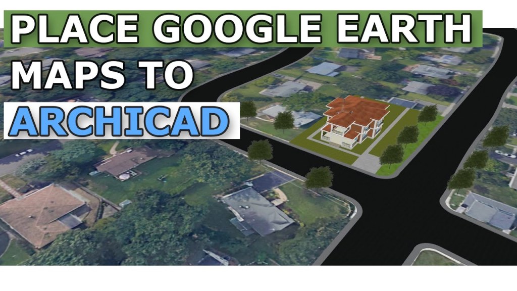
อยากลองเอาโมเดลที่ทำไปวางใน Site จริงมั้ย?
ไม่ยากครับ ArchiCAD มีวิธีทำง่ายๆ อยู่ครับ แค่ไปหาตำแหน่งไซต์บน Google แล้วเอามา Mapping ลงใน ArchiCAD
ลองทำตามในคลิปได้เลยครับ
อยากลองเอาโมเดลที่ทำไปวางใน Site จริงมั้ย?
ไม่ยากครับ ArchiCAD มีวิธีทำง่ายๆ อยู่ครับ แค่ไปหาตำแหน่งไซต์บน Google แล้วเอามา Mapping ลงใน ArchiCAD
ลองทำตามในคลิปได้เลยครับ

ใส่ความเห็น